Residents across parts of the Rockies are bracing for a late-season winter blast as a powerful storm system moves in, bringing heavy snowfall and dangerous winds that could create hazardous conditions through the middle of the week.
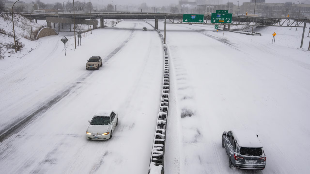
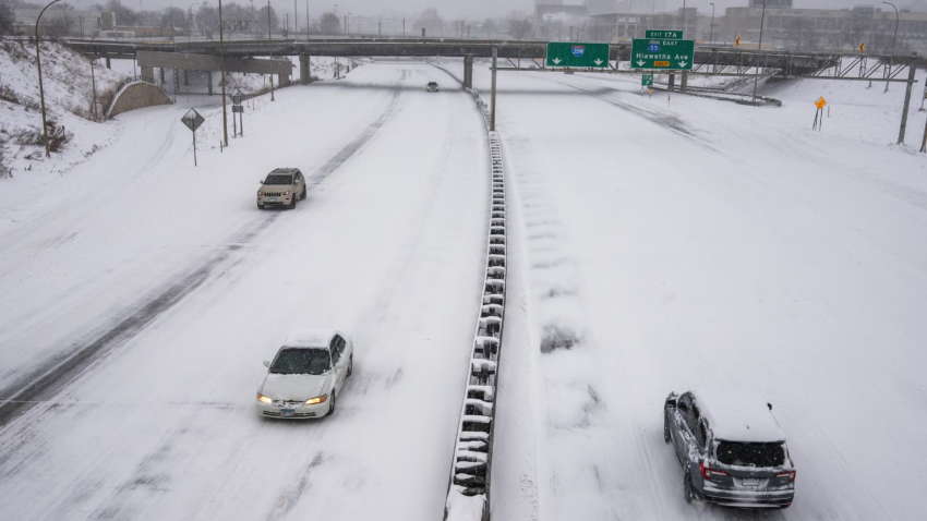
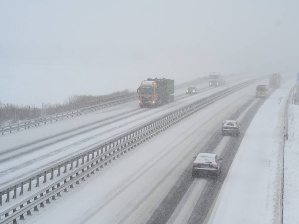
Forecasters are warning of up to 15 inches of snow in favored areas, with wind gusts reaching 55 mph that will likely cause blowing and drifting snow, leading to reduced visibility and difficult travel on highways and mountain passes.
This system is hitting regions still shaking off winter, turning what many hoped was the start of spring into a reminder that mountain weather can change quickly. Areas in Colorado, Wyoming, and nearby states are under winter storm alerts, with the heaviest accumulations expected in higher elevations.
The combination of heavy snow and strong winds is raising concerns for whiteout conditions, especially on mountain roads and interstates. Officials are urging drivers to delay non-essential travel, prepare emergency kits, and stay updated on road closures.
In lower elevations, the storm may bring a mix of rain and snow, but the real impact will be felt in the mountains where accumulations could reach a foot or more in a short time. Ski resorts still open are watching closely, as this could add fresh powder but also bring safety risks.
Power outages are possible due to the wind, and residents in affected zones should charge devices, stock up on supplies, and check on neighbors. Schools in some districts have already announced potential closures or remote learning plans.
While it’s late in the season, this storm highlights how quickly conditions can deteriorate in the high country. Authorities emphasize taking the warning seriously to avoid dangerous situations on the roads.
For many in the region, it’s a call to hunker down and wait out the system — a final winter push before milder weather returns. Stay safe, stay informed, and prepare for impacts from this heavy snow event.